
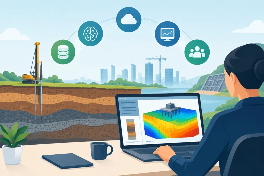
A stability assessment changed on site is not an abstract software problem. It may affect excavation sequencing, temporary support, grouting decisions or the advice given to a client before the next shift. The future of geotechnical software will therefore not be defined by fashionable features alone. It will be defined by whether software helps engineers make traceable, technically sound decisions when ground conditions and project constraints change.
For practising geotechnical and tunnelling engineers, the useful question is not whether more technology is coming. It is which technology genuinely improves problem definition, calculation, checking and communication, without hiding assumptions behind an attractive interface.
The future of geotechnical software starts with better engineering workflows
Geotechnical analysis is rarely a single calculation. A slope stability check, for example, begins with a geological interpretation, a ground model, groundwater assumptions, loading cases and a decision about the analysis method. The calculated factor of safety is meaningful only when those inputs are understood and reviewed.
Future software should support that sequence rather than compress it into a black box. Clear input handling, visible assumptions and results that can be followed in detail remain more valuable than an interface that merely looks modern. Engineers need to see which parameters control the outcome, test reasonable alternatives and explain the result to colleagues, reviewers and clients.
This is particularly relevant in tunnelling and underground construction. Rock mass descriptions, support classes, probe drilling information, water inflow and grouting observations often develop during construction. The calculation environment must allow an engineer to revise the working model efficiently while retaining a record of what changed and why.
The best tools will make routine work quicker without treating engineering judgement as a feature to be replaced. They will reduce unnecessary repetition, catch incomplete input and present calculation results clearly. They will not pretend that uncertain site data can be made certain through automation.
More connected data, but not less accountability
Ground engineering projects already generate large quantities of data. Borehole logs, laboratory results, monitoring readings, face mapping, grouting records and instrumentation data may sit in several systems maintained by different parties. Connecting these sources can reduce re-entry and improve consistency, but connection alone is not quality control.
A future geotechnical application may import field measurements, flag readings outside an agreed range and make updated calculations available to the design team. That can be useful, especially where monitoring drives staged construction. Yet the software must distinguish between measured data, interpreted parameters and design assumptions. Mixing them carelessly gives a false impression of certainty.
Traceability will become more important, not less. Engineers should be able to identify the source of a parameter, the version of a model used for a calculation and the assumptions behind a report. This is essential in design review, construction support and technical claims work, where the question is often not only what the result was, but what was known at a particular time.
Cloud storage can help teams work from current information, but it introduces practical questions around project ownership, access rights, confidentiality and retention. For some projects, particularly those involving public infrastructure or sensitive underground works, a simple local workflow with controlled file exchange may remain the appropriate choice. The future is unlikely to be one universal data architecture.
Artificial intelligence will assist interpretation, not certify designs
Artificial intelligence is likely to become part of geotechnical software, chiefly where it can handle repetitive information or reveal patterns that merit attention. It may help classify text from site records, locate comparable historical observations, check calculation inputs for inconsistencies or identify unusual monitoring trends.
These are worthwhile applications because they leave responsibility with the engineer. A system that highlights a potential relationship between increasing pore pressure and movement can prompt timely investigation. It cannot determine, on its own, whether the instruments are reliable, the geological model is adequate or the proposed mitigation is suitable.
There is a particular risk in using generative tools for technical calculation narratives. Fluent text can make uncertain reasoning appear settled. Any AI-produced explanation, parameter suggestion or report draft must be checked against the underlying model and project information. Professional responsibility cannot be delegated to a statistical language system.
The most credible use of AI in geotechnics will be modest and transparent: assistance with searching, checking, organising and visualising information. Software should show the engineer what it used, where it found it and what remains uncertain. If that cannot be shown, the output is difficult to defend.
Mobile engineering will become a normal part of the calculation chain
Many ground engineering decisions begin away from a desk. Engineers inspect excavations, review tunnel faces, attend grouting operations and discuss unexpected conditions with construction teams. In these settings, access to a serious calculation tool on an iPhone or iPad can be more useful than access to a large general-purpose modelling system that is back at the office.
Mobile use does not mean reducing analysis to a few oversimplified buttons. It means designing focused tools that allow a competent user to set up a defined problem, review input, perform a calculation and communicate the result clearly. The detailed work can continue later on a Mac, using the same project data and calculation logic.
This is where platform design matters. A calculation viewed on a phone should retain the same engineering basis as its desktop version. Synchronisation must be dependable, and graphics and text outputs must remain readable on smaller screens. A mobile application that is only a report viewer does not solve the field workflow problem.
Psicons AB works within this Apple-based workflow, reflecting the fact that many specialist engineers want professional geotechnical tools that travel with them rather than forcing a change of operating system or an improvised remote-desktop arrangement.
Calculation transparency will be a competitive advantage
As software becomes more capable, there is a temptation to add layers of automation, visual effects and settings. Some complexity is justified. Three-dimensional ground models, coupled groundwater analysis and advanced numerical methods are necessary for certain projects. However, many daily engineering checks require a well-established method, carefully selected parameters and a result that can be independently reviewed.
Future geotechnical software should therefore be proportionate. A preliminary check of uplift, a simplified wedge assessment or a grouting calculation should not require a lengthy modelling exercise. Conversely, a complex excavation near sensitive structures should not be treated as simple merely because an app can generate an answer quickly.
Good software makes its calculation method visible. It identifies relevant equations, assumptions, boundary conditions and units. It provides useful graphical output, but also text-based results suitable for checking and reporting. This clarity benefits junior engineers learning the discipline and senior engineers reviewing work under time pressure.
Interoperability will also matter, although it should serve the workflow rather than become an end in itself. Engineers need sensible ways to transfer parameters, figures and results into design documentation. They do not necessarily need every specialist tool to exchange every possible data type with every other system. Reliable, well-defined exchange is better than broad but fragile compatibility.
Software will need to support uncertainty explicitly
Ground conditions vary. Parameters derived from laboratory testing, empirical correlations and engineering judgement have different levels of confidence. A single calculated value can be necessary for design, but it should not conceal the range of plausible conditions that sits behind it.
More applications will make sensitivity studies easier to perform and easier to present. Instead of treating them as an extra task at the end, engineers should be able to test the influence of water level, shear strength, deformation modulus, grout take or support assumptions during the main analysis. The aim is not to produce a larger quantity of output. It is to identify the assumptions that deserve further investigation or more conservative treatment.
This also improves communication. A client or construction manager may not need every equation, but they do need to understand whether a conclusion is stable across reasonable assumptions or highly dependent on one uncertain input. Software can help make that distinction visible.
The future of geotechnical software is therefore practical rather than theatrical. It will reward tools that are technically serious, straightforward to use and available where engineering work happens. The useful application will not claim to replace the experienced engineer. It will give that engineer more time to examine the ground, question the model and make the next decision with greater confidence.
