
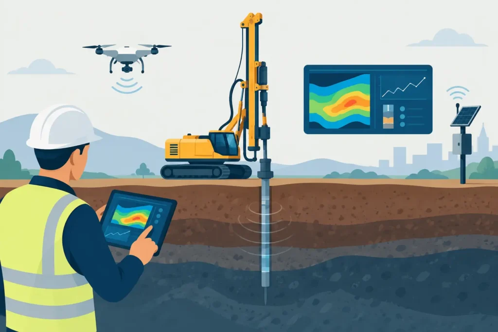
A borehole log revised in the site office, an observational-method trigger reviewed on a tablet, and a calculation note updated before a design meeting are no longer separate activities. The most useful geotechnical automation trends are reducing the delay between ground information, engineering assessment and documented decisions. For practitioners, the value is not automation for its own sake. It is a clearer, traceable route from field evidence to a defensible engineering judgement.
Ground engineering has always involved uncertainty. Soil and rock conditions vary between investigation points, groundwater regimes change, and construction itself affects behaviour. Software can remove repeated manual work and improve consistency, but it cannot make uncertainty disappear. The direction of travel is therefore towards tools that help engineers see, test and communicate uncertainty more effectively.
Geotechnical automation trends are becoming practical
For many years, automation in geotechnics meant spreadsheets, templates and batch production of reports. These remain useful, particularly where design checks are repeated across many sections of a route or a large portfolio of assets. What is changing is the connection between data capture, calculation, visual interpretation and reporting.
The strongest developments are usually modest rather than dramatic. They remove a transfer step, preserve calculation assumptions, or make a result available where the decision is being made. A tool that records input changes, recalculates a stability check and updates a clear output can be more valuable than a complex platform that demands extensive administration before it is useful.
Connected field data, with engineering context
Digital logging and mobile inspection tools are improving the speed at which site observations reach the design team. Photographs, chainage, orientation, groundwater readings, discontinuity measurements and notes can be captured in a structured form rather than being retyped later from a notebook.
The important qualification is that structure must not remove context. A logged rock joint is not merely a dip and dip direction. Its persistence, aperture, infill, roughness, weathering and relationship to the excavation may change the interpretation entirely. Automation works well when it makes those observations easier to preserve, not when it forces them into an oversimplified field.
For tunnelling and excavation work, this is particularly relevant. The field engineer needs a quick method for recording conditions, while the design engineer needs sufficient detail to assess support classes, grouting requirements, face stability or water-control measures. A synchronised workflow across desktop and mobile devices can shorten this cycle without reducing the engineer’s involvement.
Calculation tools are moving closer to the work
Portable calculation tools are becoming more credible for focused engineering tasks. A mobile phone or tablet is not necessarily the right environment for developing a large finite-element model, reviewing hundreds of outputs or managing a complex document set. It can, however, be highly effective for checking a slope geometry, reviewing an analytical grouting calculation, testing a sensitivity case or explaining the basis of a result during a meeting.
This changes the role of mobile software. It should not imitate every function of a desktop package. It should support a specific task with straightforward input handling, readable graphical results and enough technical detail to allow the user to understand what has been calculated.
For engineers working on macOS and iOS, the benefit is continuity. A calculation begun at a desk can be checked on site or discussed during a coordination meeting without exporting files through several incompatible systems. Psicons AB is focused on this kind of practical continuity for specialist geotechnical and tunnelling calculations.
Where automation improves engineering quality
Automation adds most value where the underlying method is understood and the repeated work is prone to transcription errors or inconsistent presentation. Three areas are especially relevant.
First, parameter management is improving. A project often has several plausible values for unit weight, undrained shear strength, friction angle, permeability, grout take or rock mass condition. Good software can retain the source, selected design value and sensitivity range alongside the calculation. That makes it easier to revisit an assumption when new investigation data arrives.
Second, automated sensitivity analysis is becoming more accessible. A single factor of safety or predicted grout spread can create false confidence when the input values are uncertain. Running a sensible range of cases gives the engineer a better view of which variables control the result. This does not replace selection of a design case, but it makes that selection more explicit.
Third, reporting can become a direct output of the analysis rather than a separate manual exercise. Tables, figures, assumptions and result statements should be generated from the same calculation record wherever possible. The advantage is not simply speed. It reduces the risk that a revised calculation is issued with an unrevised figure, or that an output is presented without its governing assumptions.
Traceability is a design requirement
As workflows become more automated, traceability matters more, not less. A result should show the method used, the input values, relevant units, calculation version and any limitations of the model. If a colleague cannot follow the route from observation to parameter and from parameter to result, automation has made review harder rather than easier.
This is particularly significant for temporary works, claims work and construction-stage decisions. The calculation may be produced quickly because the issue is urgent, but the project still needs to understand what was assessed and why. Clear text output and simple graphics often have greater value in this setting than an elaborate interface.
Artificial intelligence has a limited but useful role
Artificial intelligence is attracting understandable interest across engineering. In geotechnical work, it can assist with sorting large data sets, identifying missing information, classifying repetitive observations and searching project records. It may also help produce first drafts of routine descriptions or flag values that sit outside an expected range.
Its limitations are equally clear. Ground data is often sparse, biased by investigation access and dependent on local geology. Historical project records may contain inconsistent terminology, undocumented changes in test methods or conclusions reached under constraints that do not apply to the current scheme. A model trained on such material can reproduce apparent patterns without establishing whether they are physically meaningful.
AI-generated narrative also requires careful checking. It can present a plausible explanation for a soil profile, support recommendation or groundwater behaviour without evidence sufficient for design. The more consequential the decision, the less acceptable it is to treat fluent language as engineering verification.
A sensible near-term use is assistance rather than delegation. Let software identify a missing depth interval, compare repeated monitoring readings or prepare a structured draft. Let the responsible engineer assess geological reasonableness, select parameters, consider construction sequence and sign off the conclusion.
Interoperability will matter more than one large platform
Geotechnical projects involve laboratory results, field records, survey information, monitoring data, drawings, calculations and reports. No single application will be best at every task. The goal should be reliable exchange of useful information, not a forced move into a single oversized system.
Open, well-defined exports and imports are valuable when they preserve units, coordinates, dates, source information and assumptions. They are less useful when they transfer only a polished graphic with no underlying data. Likewise, a calculation tool should be able to stand on its own for a focused check rather than depend on a large central model for every operation.
There is a trade-off. More integration can reduce duplicate entry, but it can also make a simple task dependent on permissions, file formats and project administration. Smaller teams and site-based engineers may gain more from dependable specialist tools than from an enterprise system designed around a different workflow.
What remains firmly with the engineer
Automation cannot decide whether a CPT result is representative of a variable deposit, whether a water inflow is a local feature or a regional connection, or whether a support response is proportionate to the observed ground conditions. Those decisions depend on technical knowledge, experience of construction and an understanding of consequences.
The same applies to model choice. An analytical method may be entirely appropriate for a preliminary assessment, a rapid site check or a well-bounded problem. A more detailed numerical model may be justified where geometry, sequencing, soil-structure interaction or groundwater behaviour governs the outcome. Neither approach is automatically superior. The right level of analysis depends on the decision being supported and the quality of available data.
The most productive approach is to automate the repeatable parts while making assumptions and limitations easier to inspect. Choose tools that are quick to use, explicit in their calculations and comfortable on the devices engineers actually carry. When a site observation can be recorded clearly, assessed promptly and traced into a decision, the technology is serving the engineering rather than distracting from it.
