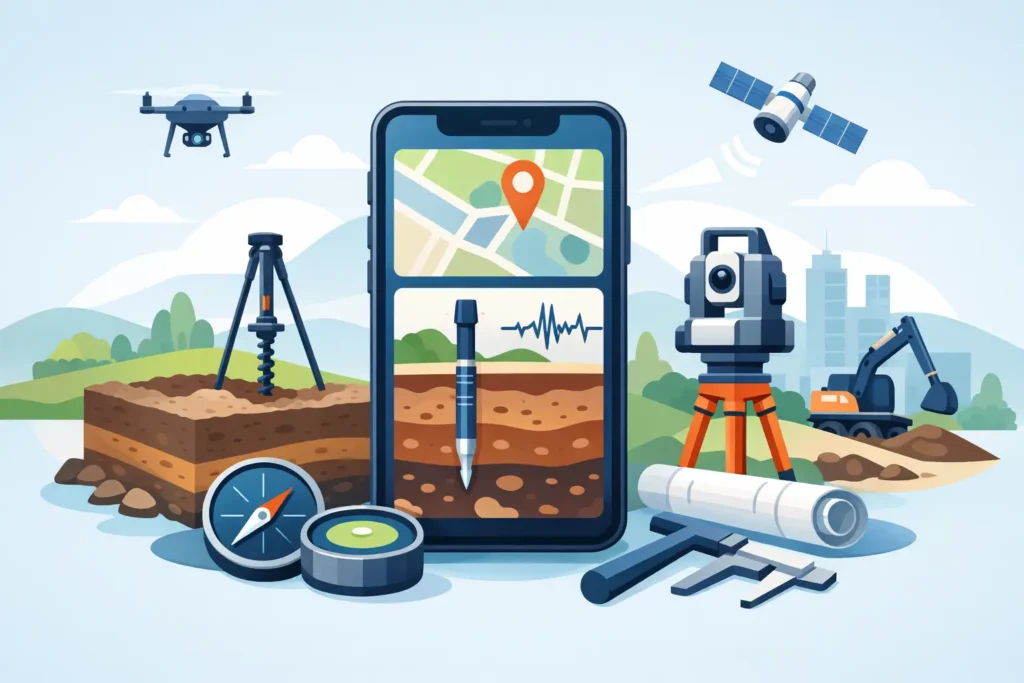
A phone is not a replacement for a controlled geotechnical model, a site investigation, or engineering judgement. It can, however, remove the small delays that weaken field records and fragment project information. The top iPhone tools for geotechnical engineers are therefore not necessarily the most feature-heavy apps. They are the tools that help an engineer capture evidence at the exposure, check a calculation assumption, find the current drawing, and return usable information to the wider team.
For ground engineering work, portability has value only when it is paired with traceability. A photograph without a location, a calculation without recorded inputs, or a note that cannot be found later may be quick to create but expensive to rely on. The most effective iPhone workflow is deliberately modest: use the phone for observation, reference, communication and limited technical checks, then retain formal analysis, review and issue control within the project’s established process.
Top iPhone tools for geotechnical engineers on site
Field capture with location, time and context
The built-in camera is often the most used field tool, but its engineering value depends on how it is used. Photograph trial pits, core boxes, exposed rock faces, retaining walls, instrument installations and water conditions with a scale, orientation and enough surrounding context to make the image interpretable later. A close image of a fissure or discontinuity is useful; a wider image showing its position in the excavation is usually what gives it meaning.
Location-aware photographs can support site records, particularly during walkovers, route inspections and visits to dispersed assets. GPS on a phone is adequate for broadly locating an observation, but it should not be treated as survey control. In urban streets, steep valleys, dense woodland and underground works, the position can be materially misleading. Record chainage, grid reference, drawing reference or a clearly identified site feature whenever positional accuracy matters.
Voice notes are also underused. Immediately after observing a change in strata, seepage, support condition or access constraint, a short dictated note can preserve details that are easily lost while travelling between locations. It needs a clear naming convention and prompt transfer into the formal site record. The objective is not to create a parallel documentation system on the phone.
PDF, drawing and borehole-log review
A capable PDF reader with annotation, search and offline file access is fundamental. Geotechnical engineers commonly need the latest general arrangement, section, borehole log, temporary works sketch or monitoring plan while standing beside the work. The useful functions are simple: search for a chainage, mark a review point, compare revisions and share a controlled comment.
Offline access deserves particular attention. Tunnels, basements, remote infrastructure corridors and plant rooms are not reliable places for mobile coverage. Before a visit, download the relevant issued documents and verify that the revision is visible in the file name or document properties. A drawing held only in a cloud folder is not a field tool if it cannot be opened when needed.
Borehole and laboratory data should remain in the project database or document-control environment, rather than being copied indiscriminately into personal phone storage. If a log viewer is used on iPhone, access controls, synchronisation and data retention should be agreed with the organisation. This is especially relevant where ground investigation data supports contractual decisions or safety-critical design.
Notes, sketches and marked-up photographs
A notes application is effective for structured inspection records when the template is fixed before the visit. For example, a retaining-wall inspection note may prompt the engineer to record location, weather, groundwater evidence, wall geometry, drainage condition, observed defects, photographs and immediate action. Templates reduce omissions without forcing the observer to write a long report on a small screen.
For quick sketches, an iPhone is best used for concept-level clarification: indicating an exposed interface, showing the direction of seepage, or identifying which face of a shaft is shown in a photograph. The screen is limiting for detailed section work, so an iPad or paper field book may remain preferable for complex geological sketches. The practical test is whether another engineer can understand the observation without a telephone call.
Marked-up photographs can be particularly useful in daily discussions. Arrows, simple labels and a scale line help communicate a concern quickly, whether it is local ravelling, a poorly seated drain, an unexpected block size or a change in grout return. Keep the original image as well as the annotated version. The unaltered photograph is often needed during later review.
Maps, compass and measurement utilities
Mapping tools help with access planning, reconnaissance and communicating approximate observation locations. They are useful for identifying terrain, drainage paths, cuts, spoil areas and the relationship between assets before a visit. They do not replace topographic survey data, buried-services information or a current construction plan.
The iPhone compass, inclinometer and level functions are convenient screening aids. They can assist an initial estimate of slope direction, dip or inclination, but their readings should be treated cautiously around steelwork, reinforcement, vehicles and electronic equipment. For discontinuity surveys, foundation set-out, support alignment or acceptance measurements, use calibrated and appropriate survey instruments.
Measurement apps based on camera imagery can help estimate a non-critical dimension when no scale is available. Their value is mainly in deciding whether an issue requires a return visit, a closer inspection or an urgent response. They are not suitable evidence for confirming excavation geometry, pile position, convergence or structural tolerance.
Calculation tools: useful checks, clear limits
Specialist calculation apps are where the Apple platform can offer genuine value to practising engineers. A well-designed iPhone tool can let an engineer set up a limited problem, inspect the governing inputs and review a graphical or text-based result while travelling or attending site. Typical uses may include preliminary checks related to slopes, earth pressures, groundwater, grouting or tunnel support assumptions.
The distinction between a check and a design matters. Screen size encourages concise input and makes it easier to overlook a parameter, load combination or drainage assumption. An iPhone result should be reproducible on a larger device or within the formal calculation record before it informs an issued design decision. The app must make units, assumptions, warnings and result interpretation easy to follow in detail.
This is also where purpose-built software is preferable to generic spreadsheets. A spreadsheet can be flexible, but flexibility on a phone often creates hidden risk: obscured formulas, unclear version status and accidental changes to cells. Specialist tools can guide input handling, make the method visible and present results consistently. Psicons AB develops Apple-based engineering applications with this practical relationship between simple input, technical calculation and interpretable output in mind.
When assessing a calculation tool, engineers should ask whether the method is documented, whether units can be inspected, whether the result can be exported or recorded, and whether the limitations are explicit. A fast answer is useful only if its basis is clear. This is particularly important for calculations involving variable ground conditions, staged construction, water pressures or observational-method decisions.
Build a workflow rather than an app collection
The best toolset is usually smaller than expected. Start with controlled document access, a method for structured notes and photographs, a mapping utility, and one or two specialised technical applications relevant to the engineer’s role. A tunnelling engineer may prioritise face mapping, convergence records and grouting checks. A geotechnical designer may place greater weight on borehole review, parameter records and preliminary stability calculations. A site engineer may need inspection templates and rapid access to current drawings.
Use consistent project folders and file names. If a site photograph is saved, its connection to a location, date, feature and observation should be recoverable without relying on memory. If a calculation is reviewed, record the version, input basis and purpose of the check. If a drawing is marked up, return the comments through the agreed document-control route rather than leaving them in a private photo library or messaging thread.
Security is part of usability, not an administrative afterthought. Enable device encryption, strong authentication and remote management where required. Avoid storing confidential investigation data, client drawings or photographs of sensitive infrastructure in unmanaged personal accounts. The convenience of a phone should not create uncertainty about ownership or access to project information.
Battery life also deserves a place in planning. Long inspections, cold weather, GPS use and image capture consume power quickly. Carry a suitable power bank, protect the device from rain and dust, and avoid depending on the phone as the only record of a critical observation. A field notebook remains a sensible fallback where conditions are difficult.
Choosing tools that withstand engineering scrutiny
Select iPhone tools by the decisions they support, not by their number of features. The right application should reduce transcription, preserve the input basis and fit the organisation’s review process. It should also be stable enough that an engineer can use it under ordinary field pressure without needing to improvise a workaround.
For specialist geotechnical calculations, look for transparent methods rather than attractive graphics alone. For field capture, favour reliable export and clear metadata over elaborate forms. For documents, revision control and offline availability matter more than annotation effects. The balance will depend on the project stage and the consequences of getting the record wrong.
A disciplined iPhone workflow gives engineers more time to look at the ground, ask the next technical question and record what matters while it is still visible. That is a far better measure of usefulness than how many apps appear on the home screen.